

Shared knowledge · traceable change · responsible data stewardship
The High Resolution Aerial Monitoring Network was created to place the condition and change of aerially surveyed natural areas in a consistent, traceable framework.
As a professional initiative of INTERSPECT Kft., we work with surveyors, researchers, conservation specialists and data owners.
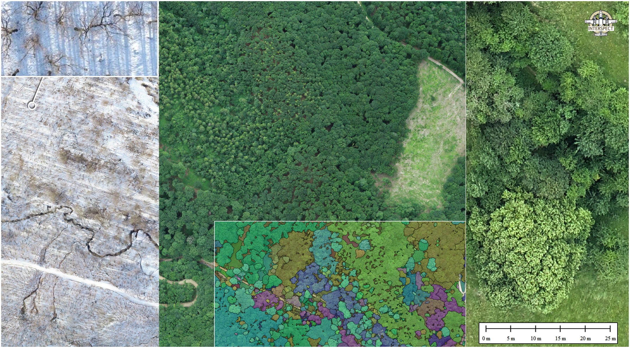
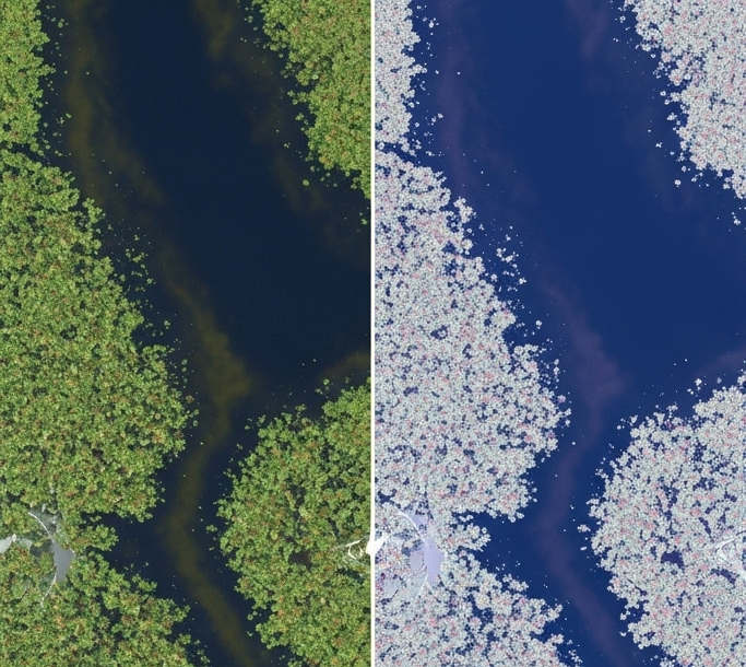
We bring together high-resolution aerial surveys captured at different times and with different instruments.
We review, organise and edit the submitted documentation according to consistent professional criteria.
We upload the processed material in a clear form and connect it to the map-based database.
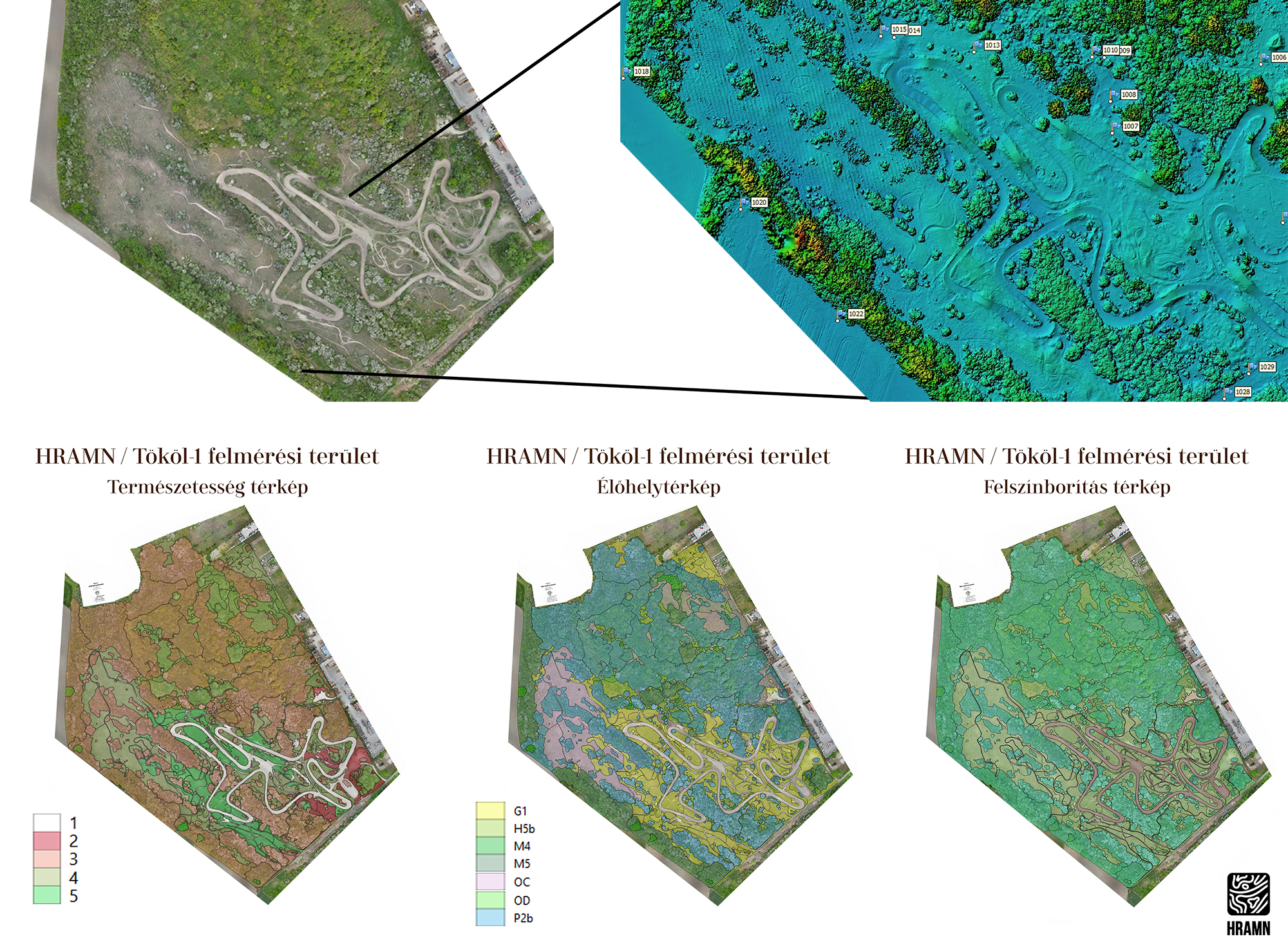
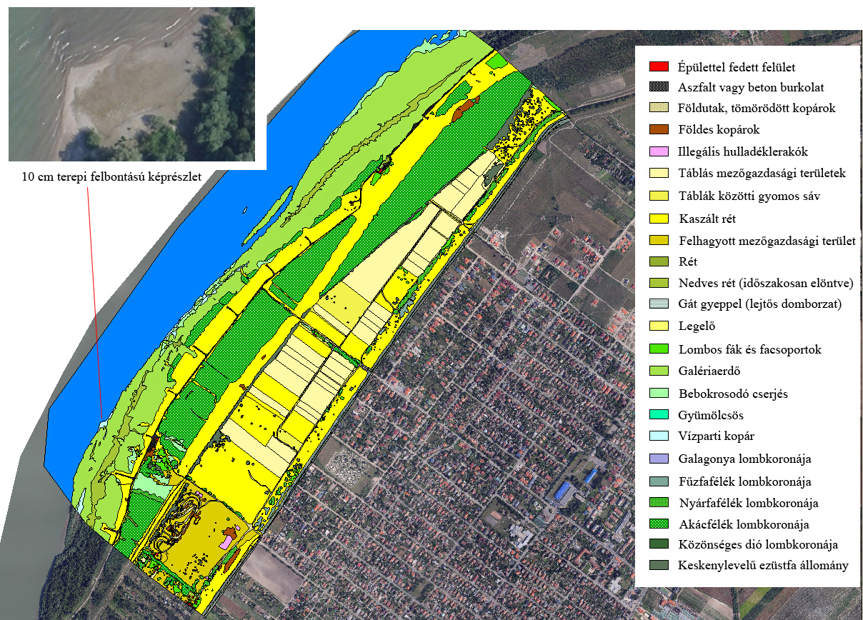
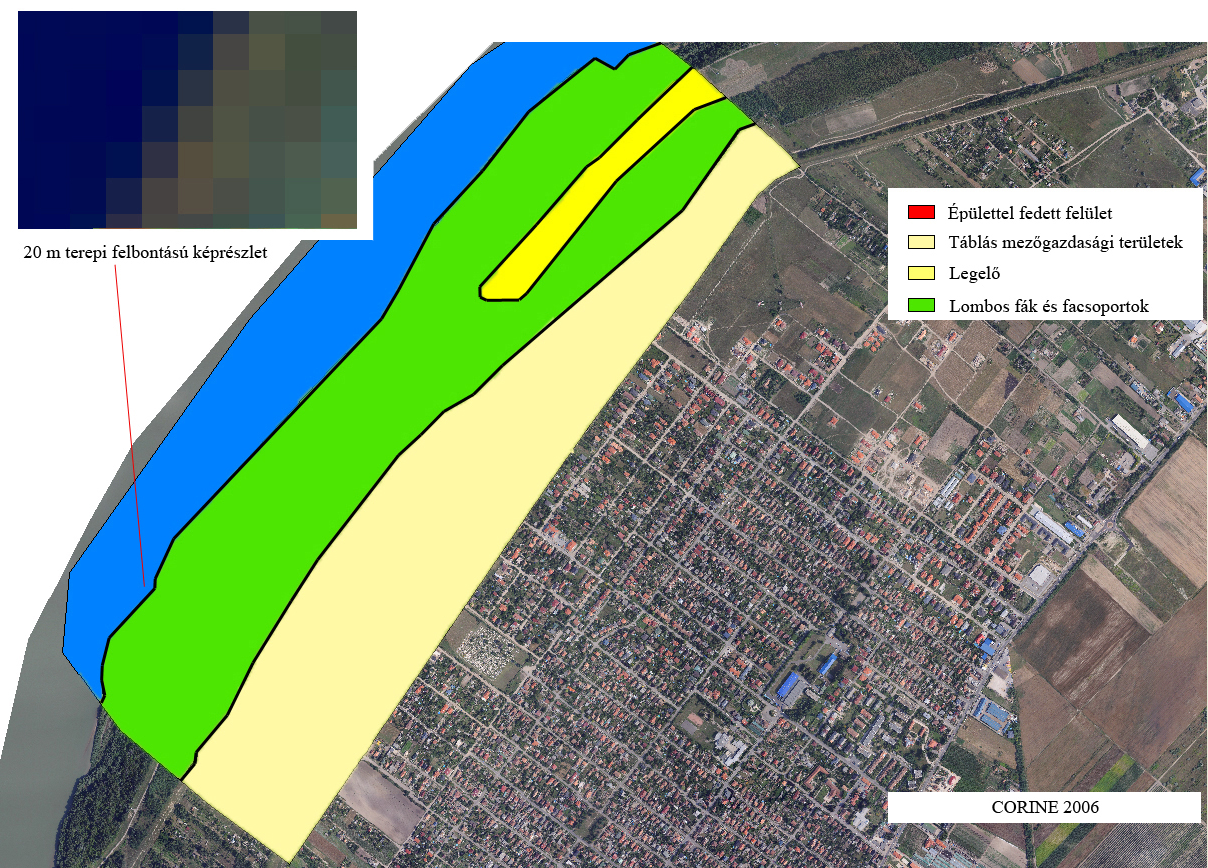
Orthophotos, surface models, habitat maps and field observations are placed in a shared methodological framework.
Our goal is to provide comparable time series for recognising and evaluating environmental change.
We consider the sensitivity of nature conservation and biotic data in every publication and access decision.
Documentation of sites with cultural heritage significance is handled with the same care and responsibility.
HRAMN is therefore more than a collection: it is a long-term professional framework for understanding, preserving and responsibly using natural and cultural values.
Explore the documented areas and the survey records associated with them.
Go to the database